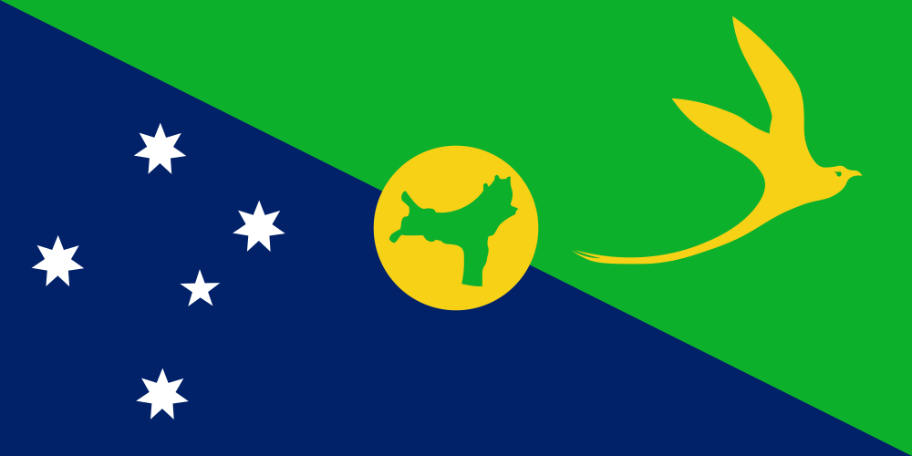
Christmas Island (officially Territory of Christmas Island) is a country located in Australia and New Zealand, Oceania. With a population of 1,692 people, it ranks #239 in the world by population. The country covers an area of 135 km² (#228 globally), with a population density of 13 people per km². The capital city is Flying Fish Cove. The official language is English.
Key Facts
Population
1,692
#239 world ranking
Area
135 km²
#228 world ranking
Population Density
13/km²
Capital
Flying Fish Cove
Driving Side
Left
Timezones
1
UTC+07:00
Continent
Asia
Bordering Countries
0
neighboring countries
Calling Code
+61
Languages
- English— see all countries
Currency
- Australian dollar ($)— see all countries
Frequently Asked Questions
What is the capital of Christmas Island?
The capital of Christmas Island is Flying Fish Cove.
What is the population of Christmas Island?
Christmas Island has a population of 1,692 people, ranking #239 in the world by population.
How big is Christmas Island?
Christmas Island covers an area of 135 km², ranking #228 in the world by area. The population density is 13 people per km².
What languages are spoken in Christmas Island?
The official languages of Christmas Island are: English.
What is the currency of Christmas Island?
The currency of Christmas Island is Australian dollar ($).